Volum 72 (2023): ANALELE UNIVERSITĂŢII BUCUREŞTI. GEOGRAFIE
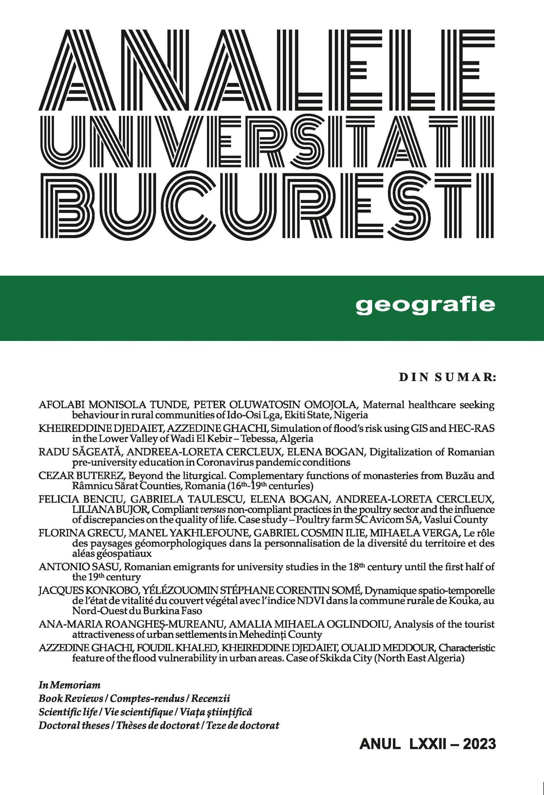
Revista conține articole de cercetare, discuții despre probleme actuale de mare interes pentru diferite discipline geografice, studii de caz, rapoarte și recenzii de cărți.
Număr complet
Scientific Articles
-
MATERNAL HEALTHCARE SEEKING BEHAVIOUR IN RURAL COMMUNITIES OF IDO-OSI LGA, EKITI STATE, NIGERIA
Rezumat
This study assessed rural women’s behaviour towards Antenatal and Postnatal Care in Ido-Osi Local Government Area of Ekiti State, Nigeria. It identified the type of health
problems confronting them; examined their choice of healthcare; determined the factors influencing such choices and assessed factors associated with ANC and PNC service
utilization. Primary data were generated through questionnaire administration among 399 respondents in three communities in a systematic way. Secondary data were obtained from Ido-osi LGA, textbooks and internet. Frequency-tables, percentages and ranking were employed to analyze the data. Findings revealed that 84% are married, 94% between 21 and 50years, 89.7% are gainfully employed and 81.4% earn less than N100,000/month. Vomiting is a common illness among pregnant women while dizziness is the sickness among those that gave birth in the last two years. Most of the sampled women consult female traditional birth attendance (92.2%), private health facility (89.7%) and government health facilities (83%).
Reduced cost and proximity are the main determinants of caregiver. Socio-economic and Knowledge of pregnancy complications are the most significant factors that influence ANC and PNC service utilization respectively. The study recommends educating the rural women on the importance of modern health services before, during after child birth. -
SIMULATION OF FLOOD’S RISK USING GIS AND HEC-RAS IN THE LOWER VALLEY OF WADI EL KEBIR – TEBESSA, ALGERIA
Rezumat
Maximum daily precipitations play a crucial role in the occurrence of flood risk, particularly when combined with other natural and human factors, such as the geographical and morphological characteristics of the area, as seen in the case of Tebessa city. The city is situated below surrounding mountains, with the Wadi El Kebir valley passing through it to the north. This study aims to simulate the risk of flooding in Tebessa city. The approach involves utilizing GIS programs for DEM (Digital Elevation Model) analysis, extracting the study area, obtaining morphometric parameters and maps, and employing the Turraza, Sokolovsky, and Maillet-Gouthier equations to calculate the frequency of maximum daily flows for return periods of 10, 50, 100, and 200 years. Based on this, the flood volume is calculated. Finally, the HEC-RAS program is used to simulate flood risk in the Wadi El Kebir valley, and urban vulnerability maps are generated for Tebessa city for each return period.
-
DIGITALIZATION OF ROMANIAN PRE-UNIVERSITY EDUCATION IN CORONAVIRUS PANDEMIC CONDITIONS
Rezumat
The article analyzes the decisions regarding the implementation of the online education system in Romania as a result of the health crisis caused by Covid-19. The analysis was carried out in the period between the establishment of the state of emergency (March 2020) and the repeal of the state of alert (March 2022), during the first pandemic waves in Romania. General bibliographic resources, elements of the legislative framework and
information from mass media were used. The conclusions highlight a lack of coherence in the management of educational activities during this period, embodied in the frequent change of criteria according to which the transition was made from educational activities with physical presence to those in the online system. This favored the intensification of the virus circulation during certain periods of the pandemic, contributed to widening social gaps between students and limited the usefulness of some investments in
computer technology for students' access to online education. -
BEYOND THE LITURGICAL. COMPLEMENTARY FUNCTIONS OF MONASTERIES FROM BUZĂU AND RÂMNICU SĂRAT COUNTIES, ROMANIA (16th-19th CENTURIES)
Rezumat
In the Orthodox tradition, the liturgical function is by far the most important trait of any church, being often perceived either as the only one, or as the only one of importance. In
reality, the churches perform also several other functions, which are much clearer and have played a bigger part in the case of monasteries. Throughout the Middle Ages, the
monastic establishments have played a key role in developing culture and science and maintaining a good social climate. Most of the times, they were also used as icons of identity and legitimacy by their founders. This study aims to explore these secondary functions of social and ideological nature of the monastery churches from Buzău and Râmnicu Sărat Counties, between the 16th and 19th centuries. Based on their characteristics and connections to Romania’s cultural and social history, we can assert that all the secondary functions of the monasteries are complementary to the liturgical one. Further historical geographical research needs to be conducted in order to have a better understanding of the spatial dimension of these functions in different stages of Romanian history. -
COMPLIANT VERSUS NON-COMPLIANT PRACTICES IN THE POULTRY SECTOR AND THE INFLUENCE OF DISCREPANCIES ON THE QUALITY OF LIFE. CASE STUDY – POULTRY FARM SC AVICOM SA, VASLUI COUNTY
Rezumat
This paper briefly presents some theoretical approaches regarding the compliant and noncompliant practices in the poultry sector, and the case study: Poultry farm SC AVICOM
SA in Vaslui County. The purpose of this paper is to assess the changes to the air environment factor, caused by the pollutants originating from the zootechnical activities of
an integrated poultry facility of SC AVICOM SA poultry farm in Vaslui County. The status of current environmental problems for air is presented from the perspective of the
analysis of pollution management methods, approached at a general level.
This study focuses on air pollution caused by the activity of zootechnical branch, presenting current issues related to the activity of intensive poultry rearing. The study deals with the analysis of the evolution of odorous pollutants generated by this activity, the impact on the environment generated by the emission and concentration of ammonia NH3. The conclusions include recommendations for the application of BAT rules to reduce ammonia emissions and protect air quality. -
LE RÔLE DES PAYSAGES GÉOMORPHOLOGIQUES DANS LA PERSONNALISATION DE LA DIVERSITÉ DU TERRITOIRE ET DES ALÉAS GÉOSPATIAUX
Rezumat
La recherche complexe d’une surface de terrain a eu le long du temps différents noms qui surprennent quand même le spécifique scientifique à un moment donné (landschaft, paysage, géosystème, environnement, espace, territoire, unités géospatiales). Le paysage est intégré au territoire et dépend de sa genèse, de son évolution et de sa dynamique. La relation entre le relief, paysage et géosite constitue une prémisse du développement
durable des unités territoriales / unités géospatiales.
L'objectif principal est de mettre en évidence le rôle des paysages dans la personnalisation du territoire/ des unités territoriales dans les relations relief-paysage-territoire. Les exemples d’analyse proviennent des territoires de basse altitude de la Roumanie : plaines (Câmpia Română), plateau (Podişul Dobrogei de Sud) et dans le basin-versant d’Oued Rhumel (Algérie). Dans les plaines, les paysages sont donnés par évolution paléogéographique, et dans les unités de plateau par la dynamique du relief ; dans les deux situations, des paysages urbains et des paysages ruraux apparaissent. En Algérie, la diversification des paysages est donnée par la ville de Constantine et son Rhumel. Constantine occupait des positions
stratégiques dans l'est de l'Algérie. Elle constituait une station relais entre le Tell et les hautes plaines, un carrefour entre la mer et le Sahara, et le Rocher de Constantine constituait un socle foncier privilégié sur lequel s'édifièrent la première ville.
La recherche intégrée du territoire par méthode multi- et interdisciplinaire, montre que les résultats prévus dépendent de la qualité partiale des investigations. Ce type d'analyse est très important pour des rations pratiques. La notion du territoire est un élément fondamental pour la compréhension du phénomène d'aléa et pour le développement durable. -
ROMANIAN EMIGRANTS FOR UNIVERSITY STUDIES IN THE 18TH CENTURY UNTIL THE FIRST HALF OF THE 19TH CENTURY
Rezumat
The process of emigration for studies abroad, was neither simple nor accessible to all those interested. 18th century Romanian graduates went to study where Romania had „open gates”, in cities under which Romania was suzerain, or at least had bilateral relations. The Romanian emigrants left for a certain period and generally followed the same specializations that they followed in their country. It was an emigration model that brought the graduate a certain social status, on his return to the country he offered the possibility of access to a public position (Vasilescu and Roman, 2016).
The 18th century saw profound political and administrative changes. From the Austro-Hungarian Empire (18th century), emigrants are heading to Paris and Berlin in these centuries. The 19th century brings changes in the wishes of emigrants. The model has changed significantly: we are talking about emigrants who choose something else
compared to what was chosen in the last century, for example (Paris, Berlin, Budapest or Bern). Times change and so do people. The young graduates, who emigrated in the 18th century, spent an average of over 5 years studying, and then in the 19th century, the period spent in studies increases by another 4 years. The graduate emigrant changes not only his direction but also his time abroad in his studies.
Thus, in the 18th century, 60% of graduates choose Vienna and Rome as their destination. In the 19th century, they choose Paris as their destination, in a percentage of 55.55%. -
DYNAMIQUE SPATIO-TEMPORELLE DE L’ÉTAT DE VITALITÉ DU COUVERT VÉGÉTAL AVEC L’INDICE NDVI DANS LA COMMUNE RURALE DE KOUKA, AU NORD-OUEST DU BURKINA FASO
Rezumat
L’évaluation et le suivi des changements de la végétation (couverture du sol en plante) permettent de clarifier l’état, la santé et la qualité des ressources végétales. Pour apprécier la vitalité de la végétation d’un espace géographique donné, l’indice NDVI est utilisé. L’objectif de cette étude est d’analyser la dynamique spatio-temporelle de l’état de vitalité du couvert végétal avec l’indice NDVI dans la commune rurale de Kouka, au Burkina Faso. La démarche méthodologique est basée sur une revue de littérature, l’acquisition des images satellites suivi de leur traitement et le calcul de l’indice NDVI. Les images Landsat 7 de 2000 et 2010 et de Landsat 8 de 2020 ont été utilisées. Les outils sont constitués par le logiciel QGIS 3.16 qui a été utilisé pour le traitement des images satellites, ArcGIS 10.8 pour l’élaboration des cartes, Word et Excel 2016 sont utilisés respectivement pour la rédaction et l’élaboration des graphiques. L’analyse des résultats révèle qu’entre 2000 et 2020, il ressort dans l’ensemble que les faibles valeurs du NDVI, ont connu une hausse au détriment des fortes valeurs. Les valeurs des « très faibles » et « faibles » sont respectivement passées de 18,49 % et 20,88 % en
2000 à 19,48 % et 28,68 % en 2020 tandis que les valeurs « fortes » et « très fortes » ont varié de
23,76 % et 9,18 en 2000 à 16,38 % et 7,75 % respectivement en 2020. Cette dynamique régressive de la vitalité de l’état du couvert végétal est fortement liée aux besoins croissant en bois d’énergie d’une population de plus en plus croissante et surtout l’importante expansion territoriale agricole. -
ANALYSIS OF THE TOURIST ATTRACTIVENESS OF URBAN SETTLEMENTS IN MEHEDINŢI COUNTY
Rezumat
The position of Mehedinţi County in the southwestern part of Romania, on the left bank of the Danube at its exit from the gorge, together with the territorial planning actions, contributed to the socio-economic evolution of the regional territorial system.
As far as the tourist activity is concerned, it is focused on the exploitation of some resources, through actions and tourist products, which is done through the infrastructure created for this purpose, namely the infrastructure of accommodation, public food, transport and leisure, with the aim of attracting as many tourists as possible.
The aim of the study is the analysis of the existing tourist potential correlated with the thorough examination of the tourist market, carried out through a series of qualitative and quantitative methods with the help of which the evolution of the tourist circulation and the accommodation capacity in operation is highlighted. The calculation of some
economic indicators, as well as some tourist indicators, is noteworthy as the methods used.
The main results of the study reflect the diversity of types of tourist resources in the urban centers of Mehedinţi County, with Drobeta Turnu Severin standing out in particular. -
CHARACTERISTIC FEATURE OF THE FLOOD VULNERABILITY IN URBAN AREAS. CASE OF SKIKDA CITY (NORTH EAST ALGERIA)
Rezumat
Floods are incredibly dangerous and disruptive, and flooding is on the rise around the globe due to climate change. For these reasons, flood management will be one of the top challenges for communities around the world for the next half-century and beyond. This study is based on the knowledge of extreme hydrological mechanisms and a strong urban growth. It constitutes a first step towards a better management of the flood risk, in
particular by the proposals materialized by documents in the form of cartographic tools as decision support. In this article, we’ll provide a sky-high view of the configuration of the flood risk management solution through a new scientific approach by hydroclimate analysis. The study relied on the maximum daily rainfall data over an observation period of 47 years (1970-2017). The statistical treatment of the Maximum daily rainfall
and short duration showers highlights the frequency values characterizing the intensity of rainfall representative of the study area. The peak flows were evaluated using the rational method and the Sokolovski flood hydrograph method. The objective of this study is to assess the flood risk in the city of Skikda by comparing the hazard and vulnerability and to propose cartographic tools to assist decision-making.
In Memoriam
-
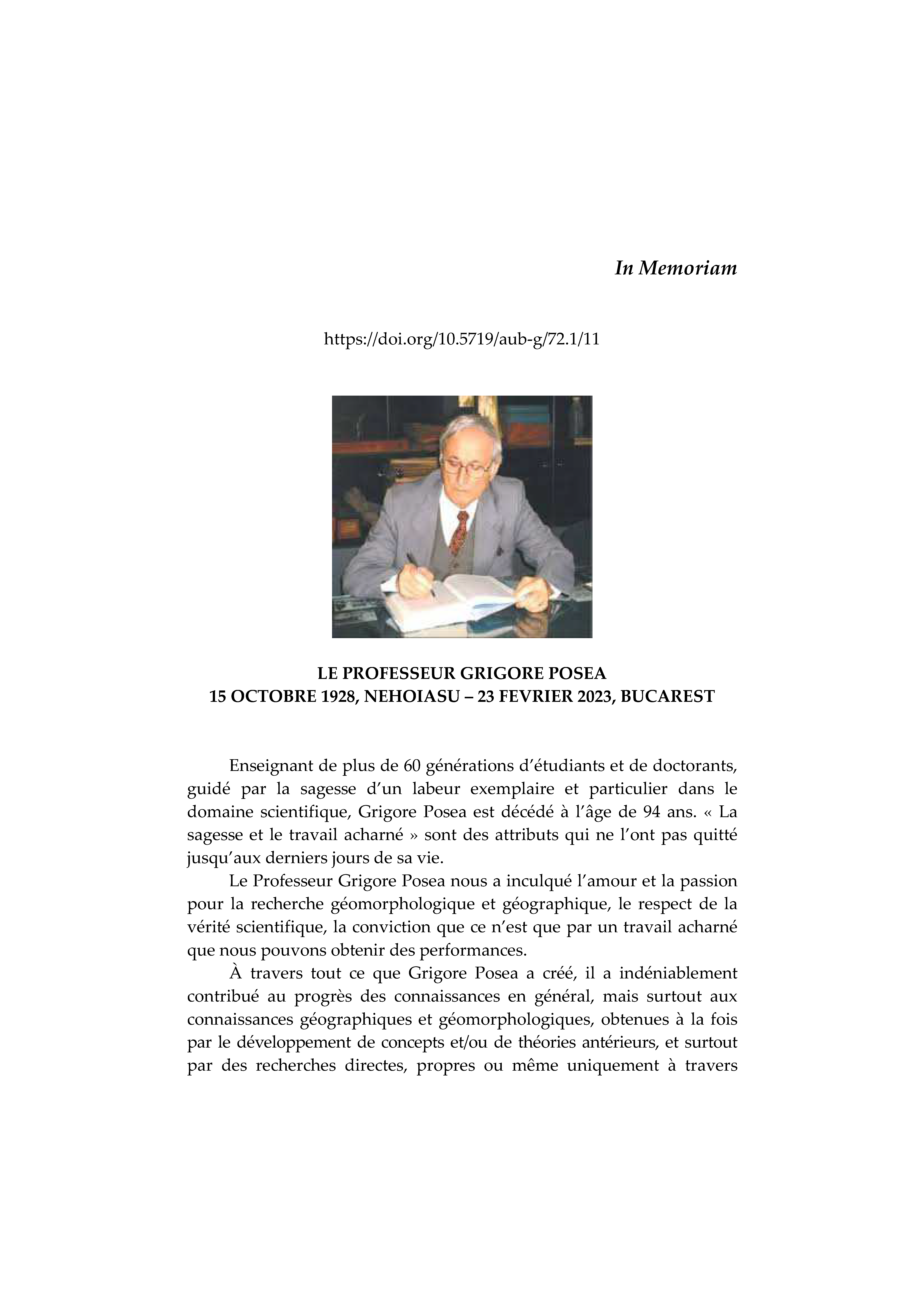
LE PROFESSEUR GRIGORE POSEA 15 OCTOBRE 1928, NEHOIASU – 23 FEVRIER 2023, BUCAREST
Rezumat
Enseignant de plus de 60 générations d’étudiants et de doctorants, guidé par la sagesse d’un labeur exemplaire et particulier dans le domaine scientifique, Grigore Posea est décédé à l’âge de 94 ans. « La sagesse et le travail acharné » sont des attributs qui ne l’ont pas quitté jusqu’aux derniers jours de sa vie.
Book Reviews
-
VLADAN HRUSKA (Ed.), 2022, Industrial past, creative future? Perspectives of industrial heritage from Podkrusnohori Univerzita J.E. Purkyně v Ústí nad Labem, Přirodověcká fakulta, 51 p.
Rezumat
The book intitled „Industrial past, creative future? Perspectives of the industrial heritage from Podkrusnohori” aims to analyze the industrial heritage located of the Ore Mountains foothills, a heavily urbanized old industrial area, located in the north-western part of Czech Republic, between the towns of Klášterec nad Ohří and Děčín, as well its role played in the redevelopment process of the region.
-
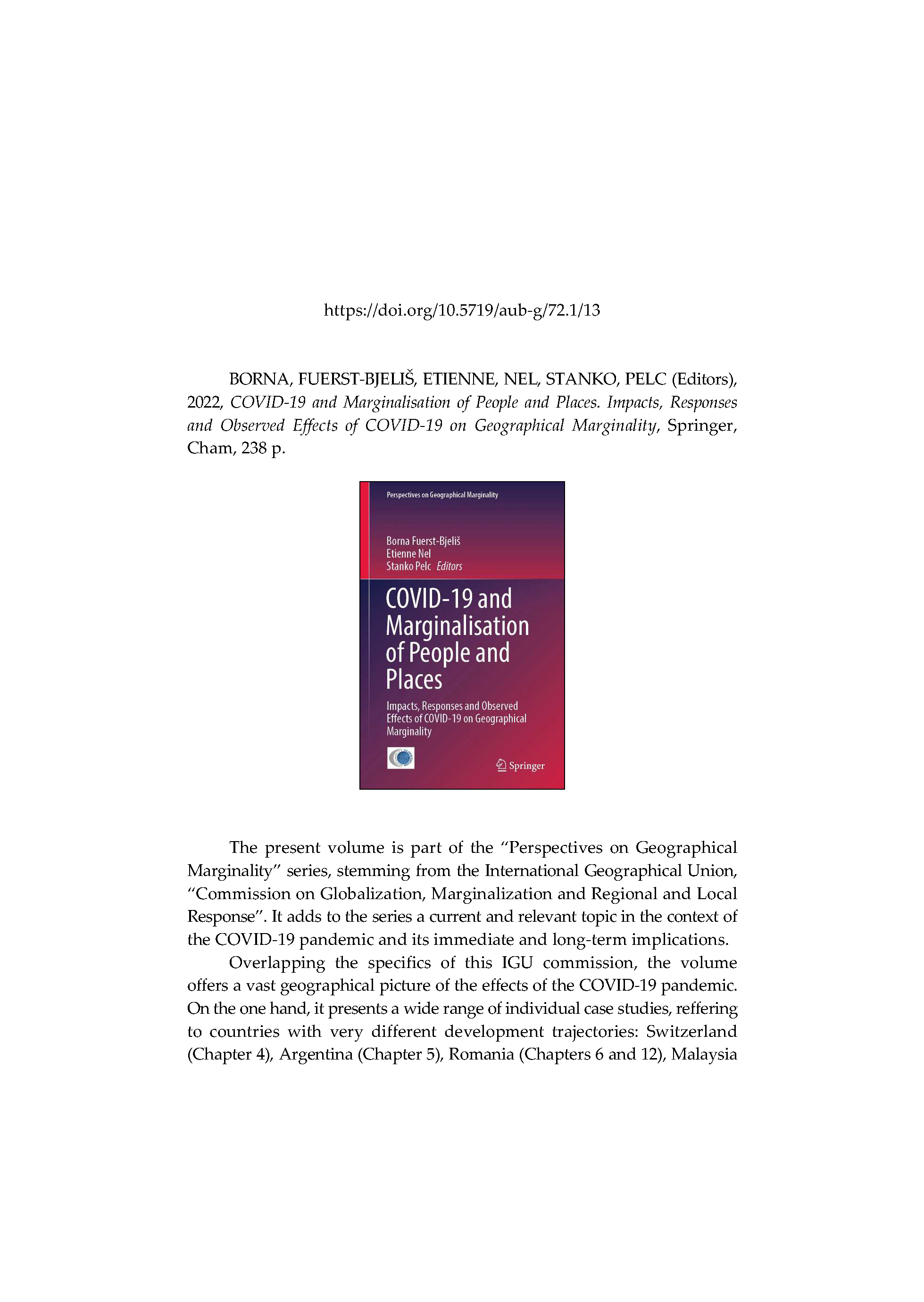
BORNA, FUERST-BJELIŠ, ETIENNE, NEL, STANKO, PELC (Editors), 2022, COVID-19 and Marginalisation of People and Places. Impacts, Responses and Observed Effects of COVID-19 on Geographical Marginality Springer, Cham, 238 p.
Rezumat
The present volume is part of the “Perspectives on Geographical Marginality” series, stemming from the International Geographical Union, “Commission on Globalization, Marginalization and Regional and Local Response”. It adds to the series a current and relevant topic in the context of the COVID-19 pandemic and its immediate and long-term implications.
-
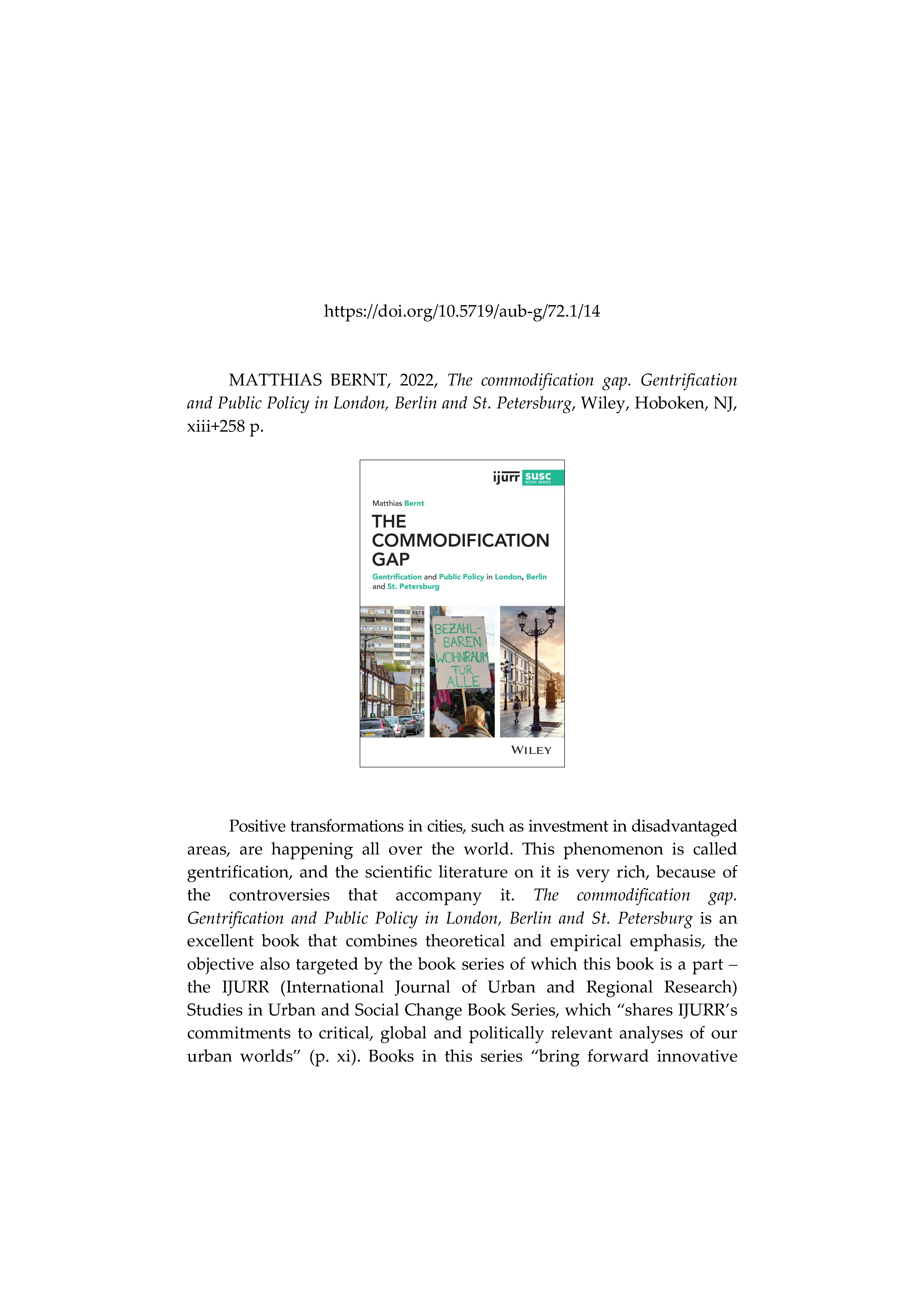
MATTHIAS BERNT, 2022, The commodification gap. Gentrification and Public Policy in London, Berlin and St. Petersburg Wiley, Hoboken, NJ, xiii+258 p.
Rezumat
Positive transformations in cities, such as investment in disadvantaged areas, are happening all over the world. This phenomenon is called
gentrification, and the scientific literature on it is very rich, because of the controversies that accompany it. The commodification gap. Gentrification and Public Policy in London, Berlin and St. Petersburg is an excellent book that combines theoretical and empirical emphasis, the
objective also targeted by the book series of which this book is a part – the IJURR (International Journal of Urban and Regional Research) Studies in Urban and Social Change Book Series, which “shares IJURR’s commitments to critical, global and politically relevant analyses of our urban worlds” (p. xi).
Scientific Life
-
IGU COMMISSION ON MARGINALIZATION, GLOBALIZATION, AND REGIONAL AND LOCAL RESPONSES, VIRTUAL CONFERENCE CLUJ-NAPOCA (ROMANIA), 9-10 AUGUST 2021
Rezumat
The annual Conference of the Geographical International Union (IGU) – Commission on Marginalization, Globalization, and Regional
and Local Responses, had been postponed from 2020 to 2021 and was held online via Zoom in partnership with the Centre for Regional Geography of Babeş-Bolyai University, from Cluj-Napoca, Romania. The head of the organizing committee was Assoc. Prof. Raularian Rusu, and the local organizing team including Assoc. Prof. Titus Man, Dr. Ana-Maria Pop, Dr. Lelia Papp and Dr. Gheorghe Hognogi, all of Babeş-Bolyai University, Cluj-Napoca, Romania. -
ANNUAL CONFERENCE OF THE FACULTY OF GEOGRAPHY, GEOGRAPHICAL PERSPECTIVES ON GLOBAL CHANGES, 18-19 NOVEMBER 2022, BUCHAREST, ROMANIA
Rezumat
On November 18-19, 2022, the Department of Meteorology and Hydrology of the Faculty of Geography of the University of Bucharest held the international conference "Geographical Perspectives on Global Changes".
-
LE 9ÈME RENCONTRE ALGÉRO-ROUMAINE SÉMINAIRE INTERNATIONAL VULNÉRABILITÉ, PRÉVENTION, ADAPTATION ET RÉSILIENCE DES TERRITOIRES UNIVERSITÉ CONSTANTINE 3, CENTRE NATIONAL DE RECHERCHE EN AMÉNAGEMENT DU TERRITOIRE CRAT, ALGÉRIE, 20-21 MAI 2023
Rezumat
Ce séminaire organisé à l’occasion du 9ème rencontre Algéro-Roumaine sur « Les ressources en eau, risques naturels et aménagement des territoires » a eu pour objectif principal la compréhension de l’état de vulnérabilité des territoires urbains, y compris de la population face aux catastrophes naturelles et anthropiques. Cette question en appelle trois autres sousjacentes : i) Les systèmes de gouvernance de nos villes favorisent-ils
l’adoption de stratégies résilientes de développement ? ii) Les outils de prévisions et d’analyse sont-ils à la portée des décideurs et des citoyens ? iii) Notre système de formation (à tous les niveaux) prépare-t-il le citoyen à faire face aux risques et aux situations « hors normes », en un mot à former une société résiliente ? -
CONGRÈS DE FONDATION DE L’ASSOCIATION INTERNATIONALE DE GÉOGRAPHIE FRANCOPHONE (AIGF), RABAT, MAROC, 13-15 JUIN 2023
Rezumat
Prévu initialement en 2020 mais retardé en raison de la pandémie de covid-19, le Congrès de fondation de l’Association internationale de géographie francophone (AIGF) a été tenu à Rabat du 13 au 15 juin 2023. Le but de l’AIGF est de faire rayonner la géographie francophone à travers le monde. Elle regroupe des géographes et des spécialistes de
disciplines connexes qui, quelle que soit leur nationalité, utilisent ou veulent utiliser le français dans une part notable de leur activité scientifique. Plus spécifiquement, cette association a comme objectifs d’organiser des activités (congrès, séminaires, excursions, expositions, etc.) pour animer la vie scientifique des géographes francophones de toute provenance ou nationalité et pour développer la géographie francophone à l’échelle internationale. Elle tiendra également sur une base régulière des réunions, dont une assemblée générale annuelle, pour assurer la bonne gestion et le développement de son organisation.

